 |
Geographical Information Systems (GIS)
Our digital mapping system is an integral part of our utility services and other departments.
Patrick Steinhaus, GIS Coordinator
Office: (901)476-0583
Cell: (901)378-4345
Email: psteinhaus@covingtontn.com
|
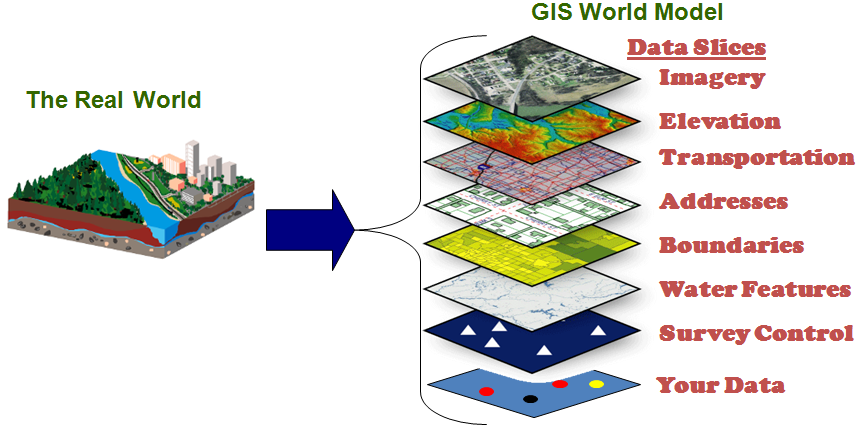
Welcome to the City of Covington GIS (Geographical Information Systems) web page. Our digital mapping system is an integral part of our utility services and other departments, (i.e., gas, water, sewer, zoning, fire hydrants, etc.). It is an important process to locate, identify, and model our services within and around our community. GIS associates geographical elements with information to analyze, evaluate, calculate, and help determine what is most cost effective and beneficial to our citizens of Covington.
The City of Covington GIS is responsible for collecting and coordinating GIS data, via GPS; (Global Positioning System), for sharing among participating agencies on the Tipton County GIS Board and with creating base map layers for use by these agencies and the public.
GIS is a dynamic process that is continually growing and refining toward a model of our world. It is one thing to see things down the road; it is another to see the entire road.
Visit the Interactive Mapping Website
